科技工作者之家
科界APP是专注科技人才,知识分享与人才交流的服务平台。
科技工作者之家 2020-01-18
来源:科研圈
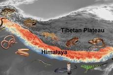
受气候变化影响,喜马拉雅山脉上千处冰川湖都有洪水风险,并且东部地区风险系数达到其他地区的三倍之多。
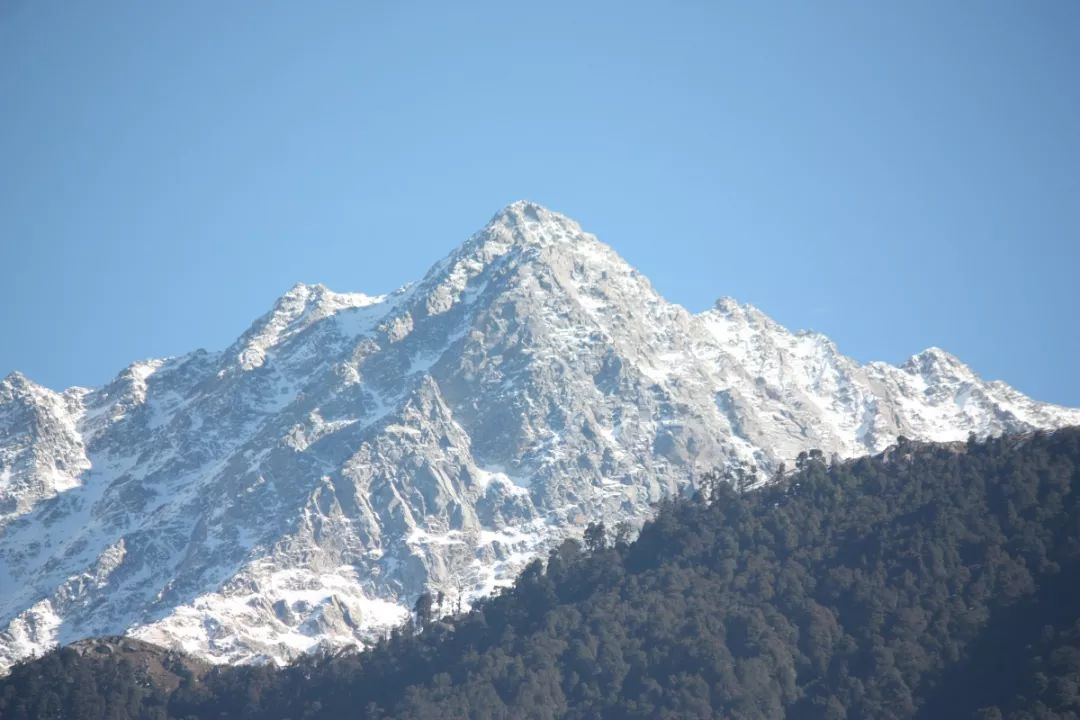
图片来源:Pexels
作者 Jennifer Walter
喜马拉雅山脉因其常年寒冷和冰雪堆积闻名,如今山上的冰川却正在消融。融化的冰水将流向那些藏身于高山之间的千万个湖泊。
随着气候变暖,冰川水汇聚于山体岩缝之间,形成一处处新的水体。一项研究报告说,从 2003 年至 2010 年,在位于印度东北部山脉的锡金邦内,喜马拉雅山脉内出现了 85 处全新湖泊。
而已有的湖泊则似乎在同时扩张。一项 2017 年的研究揭示,这些湖泊的面积在 25 年内扩大了 14.1%。伴着水平面的上升,冰湖溃决洪水(glacial lake outburst flood, GLOF)的风险系数也在攀升。
当冰碛构成的天然水坝突然爆裂,出现缺口,就会发生 GLOF,让洪水冲入山谷,就像季风引发的洪水那样。有时候,这些洪水泛滥的水体会引发意外危害。一个著名事例发生在1985年,一场雪崩导致超过 13 亿加仑的冰川水从辛措湖(Dig Tsho)溢出,淹没了尼泊尔的一所村庄。
2019 年 12 月 30 日发表在《PNAS》上的一项研究指出,危险的 GLOF 发生机率似乎正在增加。研究人员预测,喜马拉雅山脉上千处冰川湖都有洪水风险,并且东部地区风险系数达到其他地区的三倍之多。
脆弱的冰墙
为了确认风险,研究人员根据横跨山脉所得的卫星和地形数据构建了冰川湖泊模型,进行了 54 亿次计算机模拟。他们的结论如下:喜马拉雅山 5000 处水体拥有不稳定的冰碛物。
冰碛物是冰川从土壤上滑过时形成的岩石、尘土和冰屑等混合物,构成了一道天然屏障。然而,不断变暖的气候意味着阻挡上百万加仑冰湖水的冰碛物可能随着冰川一起消融,让天然屏障变得不稳固,最终爆裂或者致使湖水泛滥。
GLOF 风险系数最高的是那些湖水贮藏量更大、历史上曾发生洪水的湖泊。尼泊尔、印度和不丹历史上曾爆发过一系列大洪水,因此让研究人员得出结论,认为东喜马拉雅山脉的冰湖溃决洪水风险超出其他地区三倍。
未来十年,人们预测喜马拉雅山将近三分之二的冰川会融化。研究人员说,持续的融化会随着时间的推移不断提高致命洪水的暴发风险。并且随着气候继续变暖,显然这些危险的湖泊不会很快消失。
原文链接:
https://www.discovermagazine.com/planet-earth/as-the-himalayas-melt-thousands-of-dangerous-floods-could-sweep-through-the
论文信息
[论文标题] Hazard from Himalayan glacier lake outburst floods
[论文作者] Georg Veh, Oliver Korup, and Ariane Walz
[发表刊物] PNAS
[发表时间] 2019 年 12 月 30 日
[论文编号] doi.org/10.1073/pnas.1914898117
[论文链接] https://www.pnas.org/content/early/2019/12/24/1914898117
[论文摘要] Sustained glacier melt in the Himalayas has gradually spawned more than 5,000 glacier lakes that are dammed by potentially unstable moraines. When such dams break, glacier lake outburst floods (GLOFs) can cause catastrophic societal and geomorphic impacts. We present a robust probabilistic estimate of average GLOFs return periods in the Himalayan region, drawing on 5.4 billion simulations. We find that the 100-y outburst flood has an average volume of 33.5+3.7/−3.7 × 106 m3 (posterior mean and 95% highest density interval [HDI]) with a peak discharge of 15,600+2,000/−1,800 m3⋅s−1. Our estimated GLOF hazard is tied to the rate of historic lake outbursts and the number of present lakes, which both are highest in the Eastern Himalayas. There, the estimated 100-y GLOF discharge (∼14,500 m3⋅s−1) is more than 3 times that of the adjacent Nyainqentanglha Mountains, and at least an order of magnitude higher than in the Hindu Kush, Karakoram, and Western Himalayas. The GLOF hazard may increase in these regions that currently have large glaciers, but few lakes, if future projected ice loss generates more unstable moraine-dammed lakes than we recognize today. Flood peaks from GLOFs mostly attenuate within Himalayan headwaters, but can rival monsoon-fed discharges in major rivers hundreds to thousands of kilometers downstream. Projections of future hazard from meteorological floods need to account for the extreme runoffs during lake outbursts, given the increasing trends in population, infrastructure, and hydropower projects in Himalayan headwaters.
来源:keyanquan 科研圈
原文链接:http://mp.weixin.qq.com/s?__biz=MzA5NDkzNjIwMg==&mid=2651689325&idx=2&sn=75dccf7f675ecbde89f05a8d58e5db37&chksm=8bbe3c88bcc9b59e9ab3af9ae99e7bf2ff4de1314faef80be40173edb53800c2a2f04368ec97&scene=27#wechat_redirect
版权声明:除非特别注明,本站所载内容来源于互联网、微信公众号等公开渠道,不代表本站观点,仅供参考、交流、公益传播之目的。转载的稿件版权归原作者或机构所有,如有侵权,请联系删除。
电话:(010)86409582
邮箱:kejie@scimall.org.cn
喜马拉雅山脉高山树线高清全景图公布

关于印度-亚洲大陆碰撞对喜马拉雅山脉的地质影响相关研究
火星上首次发现液态水!为火星生命提供新可能


世纪冰川
研究发现青藏高原冰川湖泊裂腹鱼的遗传和表达模式

巨型滑坡或有助解释喜马拉雅山脉演变
中国科学院南京地理与湖泊研究所长期定位观测研究显示太湖湖泊物理环境发生显著变化
喜马拉雅山脉两栖爬行动物的演化史
青藏高原湖泊水量变化的时空差异及原因研究获进展
研究发现青藏高原冰川湖泊裂腹鱼的遗传和表达模式

科界APP是专注科技人才,知识分享与人才交流的服务平台。
 微信
微信
 京公网安备11010202008424号